- Home
- Contact Us
- AAEES Staff
- AAEES Board of Trustees
- American Academy of Environmental Engineers Certification Board
- American Academy of Environmental Scientists Certification Board
- AAEES Committees
- State and Regional Representatives
- Representatives to Other Organizations
- Previous Leadership
- Interactive Who's Who
- Student Chapters
- Tau Chi Alpha
- News & Events
- Awards
- AAEES Awards Criteria
- 40 Under 40 Recognition Program
- Edward J.Cleary Award
- Excellence in Environmental Engineering and Science Education
- Gordon Maskew Fair Award
- Honorary Member
- International Honorary Member
- Ralph and Joe Bales Graber Science Award
- Stanley E. Kappe Award
- Environmental Communications Awards Competition
- Excellence in Environmental Engineering and Science Competition
- The AAEES Chapter Blue Marble Award
- Resources
- Membership
- Donate
- Jobs
Event Calendar
|
Locally Relevant Soil Moisture Monitoring for Water Resources Applications
Wednesday, September 07, 2022, 12:00 PM - 1:30 PM EDT
Category: AAEES Webinar Series
Webinar SummaryThe distribution of water resources over land highly varies in space and time. From local to global scales, it plays a key role in modulating water, energy, and carbon interactions between the land and the atmosphere. Detailed spatial and temporal hydrologic information is essential to understand and monitor hydroclimate extremes (e.g., droughts and floods), natural hazards (e.g., wildfires and landslides), irrigation demands, biogeochemistry, and ecosystems dynamics. In-situ hydrologic observations can provide detailed information, but their representativeness is limited, and networks of sensors are often not widely available. Hyperspectral satellite observations provide global coverage, but measurements can be infrequent or too coarse to capture the local spatial variability. This observation data gap limits the use of hydrologic information for scientific and water resource applications. To address these challenges, my research develops novel and scalable satellite land data assimilation approaches that use high-resolution land surface modeling, machine learning, and in-situ observations to obtain hydrologic information at the local spatial scales. In this presentation, I will introduce SMAP-HydroBlocks – the first 30-m resolution satellite-based surface soil moisture dataset for the United States. This unique dataset reveals the high degree of soil moisture spatial variability at the local scale and its complex interplay with the diverse landscape and hydroclimate. This spatial variability, however, does not persist across large spatial scales – up to 80% of the spatial information is lost at 1-km resolution, with complete loss expected at the scale of current state-of-the-art hydrologic and drought monitoring systems (5–25-km). I will conclude by presenting pathways forward to leverage the increasing availability of satellite Earth observations, high-performance computing, as well as advances in machine learning and Earth system models to further understand the impact of local-scale hydrology on hydroclimate extremes, natural geohazards, ecological, and biogeochemical processes across scales. About the PresenterDr. Noemi Vergopolan is a computational hydrologist working on solutions for improving water resources, natural hazards, and climate predictability from local to global spatial scales. To this end, Noemi develops scalable computational approaches that leverage advances in satellite remote sensing, land surface modeling, machine learning, data fusion, and high-performance computing. Her research contributed to advancing water resources management and food security through various scientific publications and open-access datasets. Noemi received her B.S. in Environmental Engineering from the Federal University of Paraná (Brazil) in 2014. After two years of working in engineering consulting, Noemi moved to the United States to pursue an M.A. and Ph.D. in Civil and Environmental Engineering at Princeton University. At Princeton, Noemi worked with Prof. Eric F. Wood and Prof. Justin Sheffield on advancing hyper-resolution land surface models and satellite land data assimilation for water resources and food security applications. She obtained her Ph.D. in 2021, with a certificate in Computational Science and Engineering and a certificate in Statistics and Machine Learning. Currently, Dr. Vergopolan is a Researcher Associate at the Atmospheric and Ocean Science Program at Princeton University with a visiting appointment at the NOAA Geophysical Fluid Dynamics Laboratory, where Noemi works with Dr. Elena Shevliakova on Earth system modeling and satellite data assimilation. Webinar Format This will be an interactive session with "live chat" capability. The session is open to environmental engineering and science professionals across all sectors and career stages. Our objective is to offer special insights on leading-edge solutions for graduate and undergraduate students as well as early to mid-career environmental professionals who are considering specialty certification. AAEES Board Certified Individuals: Attend this event and earn 1.5 PDHs towards your PDH requirements for maintaining your specialty certification. Register TodayWould you like to sponsor an AAEES webinar? We are now offering two levels of webinar sponsorship. Silver Level SponsorshipSilver Level Sponsorship is available to individuals only. Companies/Organizations are encouraged to choose the Gold Level Sponsorship. This package includes your name and short message displayed at our webinar, on the AAEES website, and on AAEES Social media pages. (Twitter, Facebook, LinkedIn) Your promotional message can also be included in one of our monthly newsletters. $300 Gold Level SponsorshipGold Level Sponsorship is open to individuals and organizations with 199 or less employees. This package includes all of the above plus the opportunity to display your organization’s promotional video during the webinar. This level also includes 8 complimentary webinar registrations. $1,000 Larger organizations of 200 or more employees are encouraged to join our Patrons Program which includes numerous tailored sponsorship opportunities. Click here for details. |
 View Month
 Search
 Go to Month
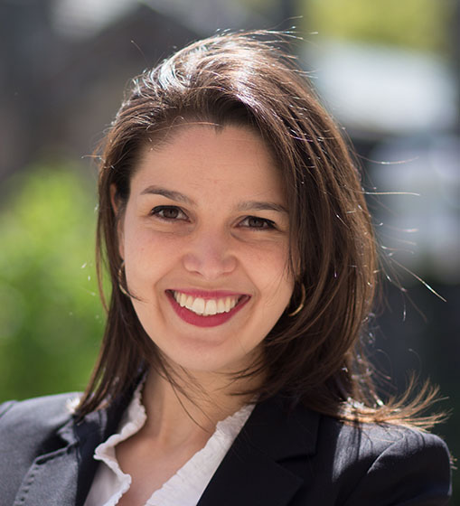
 Export Event
 Our Partners